In 2011 we travelled from Iowa City by University minivan on July 07 to Cheyenne, Wyoming, where we met Talia (dropped off from Boulder, Colorado, by her husband). On July 08 we bought orange buckets at Home Depot in Cheyenne, then set off for Ely, Nevada. Driving west involves crossing two time zone boundaries, which helps with getting in at a reasonable time in the evening. In Ely, we set up shop at the Main Motel:
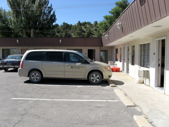
Our long suffering minivan at Main Motel, Ely, Nevada.
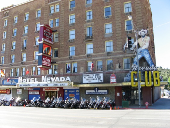
The Hotel Nevada, breakfast site and the main landmark in downtown Ely.
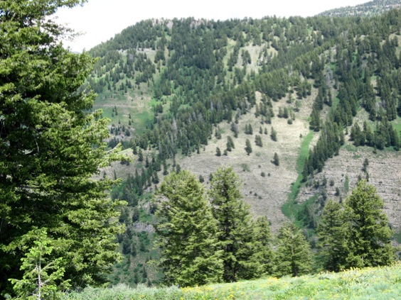
We met up with Steve Westrop at Ely, who joined us for about the first week to work at Ibex. This was the first year we tried working at Ibex from Ely as opposed to Delta, Utah, which is considerably closer. It made for long drives, not helped by the fact that they were resurfacing the highway on the Nevada side of the state line, but the unanimous sentitment is that it was worth it. On the way home each day, it was nice to stop at the Border Inn on the state line (immortalized as Bearriverops borderinnensis Adrain & Westrop, 2007) for ice cream bars and Lays salt and vinegar crisps. At Ibex, we had several targets. First, we wanted to complete our resampling of the Dapingian and lower Darriwilian faunas of the Kanosh Formation. The main new collections were made along strike from Hintze's section CP, opposite Crystal Peak. We found a nice exposure on a little gully side in the Pseudoolenoides acicaudus Zone with lots of trilobite-bearing lumps, some of which definitely seemed to have silicification.
The second major target was making lithological samples to characterize the trilobite accumulations, most importantly through the Wah Wah Formation at Section J and the House Formation in the upper part of Section Lava Dam North.
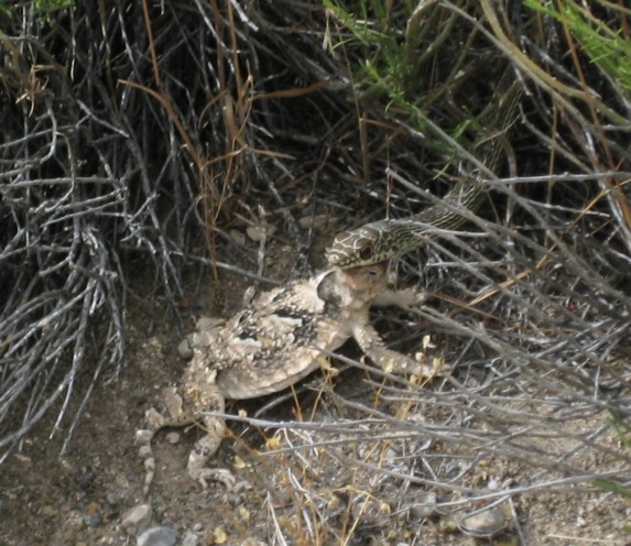
A snake carrying around a luckless and very stiff horned toad (they're called "toads" but are actually a type of lizard, Phrynosoma platyrhinos). The snake paraded across the access road to Section J right in front of us, dinner held high.
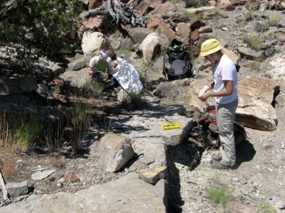
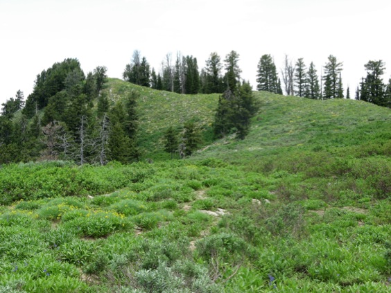
From the point of view of the overall revision of the Ross-Hintze faunas, we were mainly interested in the interval spanning the top of the Fillmore Formation and bottom of the Wah Wah. Having gotten Section H intensely collected all the way through in 2009, the main effort in 2011 was measuring and collecting a much better exposed section (which we called H') which duplicates the upper portion along strike to the north. Section H' is almost 100% exposed.
View from the base, looking up our new Section H' in the Confusion Range, Ibex, Utah.
Beginning sampling and logging at the base of H'.
Getting H' sampled took all of the time we had set aside for Ely, and we had to cancel planned trips to Yellow Hill, Cherry Creek, and Shingle Pass.
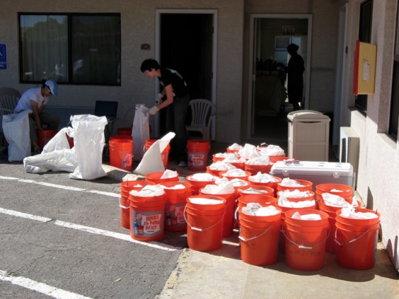
Preparing our 2011 Ibex collections for shipment to Iowa.
After several years of frustrations and cancellations of one kind or another, we then finally got to Logan, Utah, with a clear shot at making a major resampling effort at Ross's localities at Hillyard Canyon, Idaho. The huge snowpack in the west was a worry, but we just barely timed it right. We got there on July 17. People we met at Hillyard told us the road up the canyon had been snowed in up until one week earlier. I had collected HC5 (east side) and HC6 (west crest) years ago (probably 2001), but we hadn't had a chance to sample in the kind of obsessive detail we now do routinely. So that's what we did.
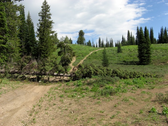
Section HC6, due to all the snow, was a bit of a jungle, totally overgrown with vegetation:
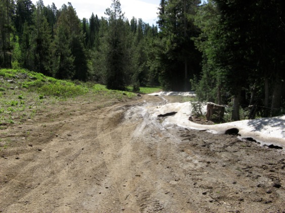
Snow still melting in mid-July on the road in to HC6.
When we started back around 2000, you could drive the van almost to the top of the section. The Forest Service has since closed the road to most vehicles, so now there's a lovely mile or so walk. It's all right outbound with an empty pack. Not so much coming back, which involves carrying full packs of rock uphill.
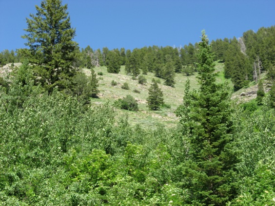
In normal years, this is a view of rocks, looking up toward the fault-truncated top of HC6.
This made things a bit challenging, but we managed, discovering quite a few new Tulean horizons and resampling all of the previously collected ones.
Next we headed up to resample the high part of HC5:
This is a view across the canyon from HC6, looking at the upper portion of HC5.
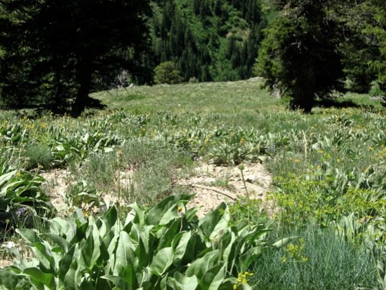
Looking up from the road through the Hell Thicket at the base of the descent from the high part of HC5.
The upper part of HC5 is on a fairly long southerly offset from the lower (mostly Stairsian) portion. It's an absolute pain to collect, because the only way down is a very steep slope to the road which features several small cliffy resistant beds you have to climb down through. It's so steep that you're spending most of your time setting your legs to stop your pack going over (when full of rock). As a special bonus, the bottom of the slope is separated from the road by an extraordinarily dense thicket of weedy trees. It's so dense you have to actually get down on all fours (with a full pack) and crawl through, and even then it's not easy. We had so much fun the first day getting down that on the second (and final) day of sampling, we were determined to only do it once more and ended up taking huge packloads.
Strangely enough, Talia (who, along with her husband, is a climber) and I were talking on the first day about Joe Simpson's book "Touching the Void" which is about him breaking his leg and crawling down a mountain in South America after having been abandoned for dead.

Don't ever chat about this book during a steep descent.
And so on the second descent, Talia broke her leg halfway down (!). This made for something of a situation, as it was so steep there was no way to safely carry her or even support her without risking a tumble. Talia is made of sterner stuff than me, though. She remained calm, nearly cheerful, assessed the situation, and...started crawling down the canyonside with her broken leg stuck out. Crawled all the way down, crawled through the thicket, and I went and retrieved the minivan. We went straight to the big regional hospital in Logan where they figured out she'd broke the leg in two places.
(It occurs to me that this isn't exactly a sales pitch for anyone considering joining our lab group. I should hurriedly point out that in 23 straight years of field work in some pretty remote places, this is the first serious accident anyone in my field groups has had.)
At time of writing (Christmas 2011), Talia's cast is off and she's rehabilitating and planning on returning to the field. I think we've kind of had our fill of the high part of HC5, though. At least we got it thoroughly sampled.
Looking down into the canyon from the high portion of HC5. The end of the vegetation marks the crest line of the steep canyon wall where Talia broke her leg while carrying a full pack of samples.