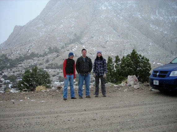
In 2010 field work, we pushed it weather-wise and went out too early in May.
As a result, the Bear River Range was still totally snowed in and we couldn't work at Ross's Hillyard Canyon localities;
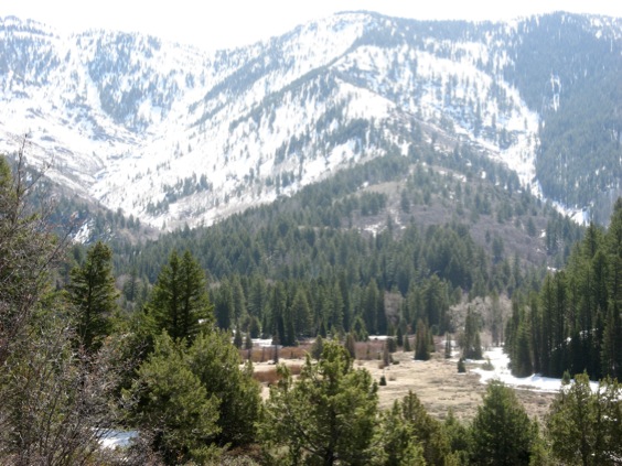
A vew of the Bear River Range, looking toward Willow Creek Campground at the bottom of the Hillyard Canyon access road. Hillyard Canyon extends off to the right of the photograph. Note snow.
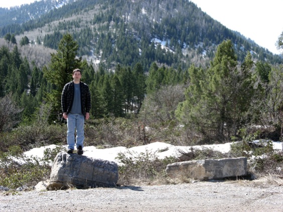
Unhappy professor.
Okay, so, that could have gone better. We beat a retreat to Delta, Utah, and set out from there to work at Ibex. It rained for a while. When we finally made it out...
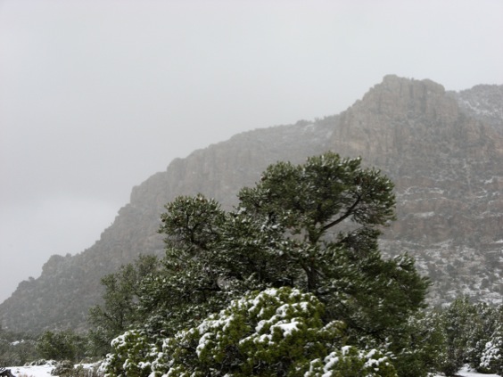
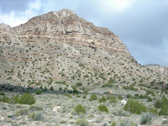
Snow blasting against the Crystal Peak Hills.
...it snowed.
Sigh.
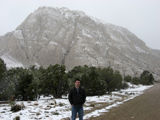
Note smile. Crystal Peak in background.
Well, at least somebody has the grace to smile.
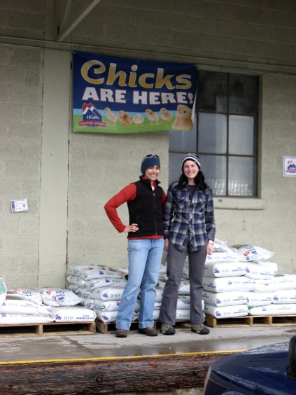
They made me take this. Not my idea. Honest. At the Intermountain Farmers Association, Delta. In the rain.
After a frustrating few days, the weather improved and we were able to get to work. Once we could actually do stuff, the trip went very well.
First, we made collections through the Kanosh Formation at its type section, K-South, the only place the whole unit is completely exposed.
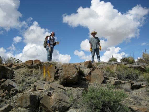
At Ibex, the sections come with handy labels. Contact between the Juab and overlying Kanosh Formation, base of Section K-South, Confusion Range.
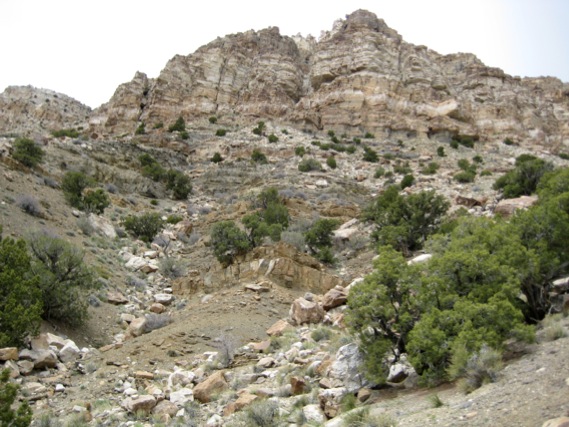
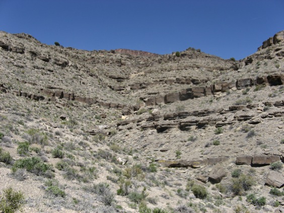
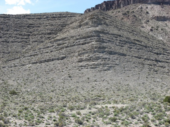
Looking up Section K-South. The olive shale is the Kanosh Formation. The more resistant beds toward the base of the cliff are the Lehman Formation. The cliff is the Eureka Quartzite.
K-South (Fossil Mountain) from a distance to give a sense of scale. The section is in the lower left part of this photo.
Next, we made extensive collections from the Wah Wah Formation at Section J, finally resampling it to our satisfaction.
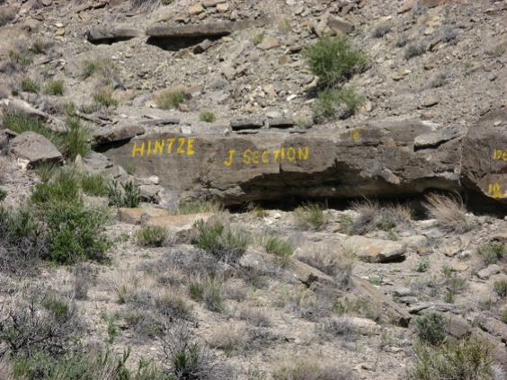
I sometimes wish life in general came with handy labels.
View up Section J. The section bends up the gully to the right.
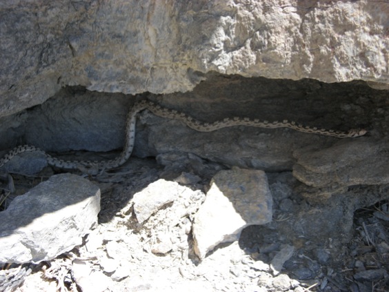
Snake! Big 'un. Not venomous, but nevertheless quite exciting.
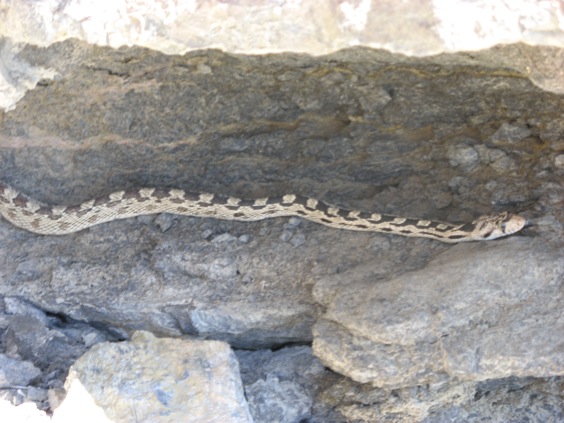
Snake wasn't very worried by or interested in me.
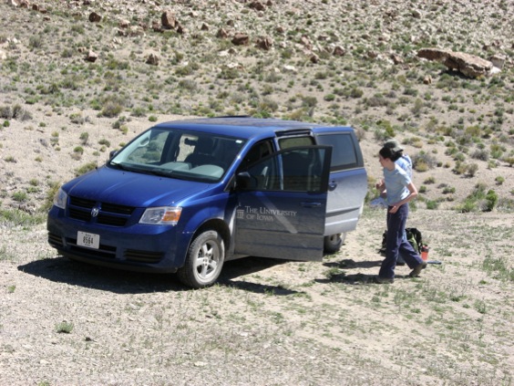
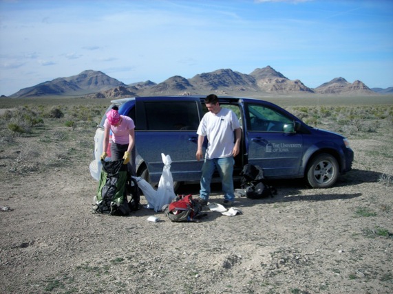
The van parked at the base of Section J, as we prepare to sample.
We then spent a few days making detailed new collections from the Tulean part of the Fillmore Formation at Section G.
On the way there a badger ran across the road in front of us. I annoyed it by getting out with my camera. Result:
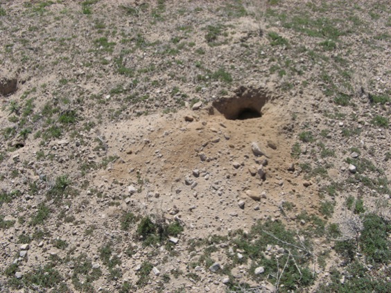
It had a good lead, and took about 30 seconds to dig itself a hole in the desert. By the time I huffed up that's all there was to take a photo of. You could hear it growling, though. Badgers don't suffer fools gladly.
At Section G...
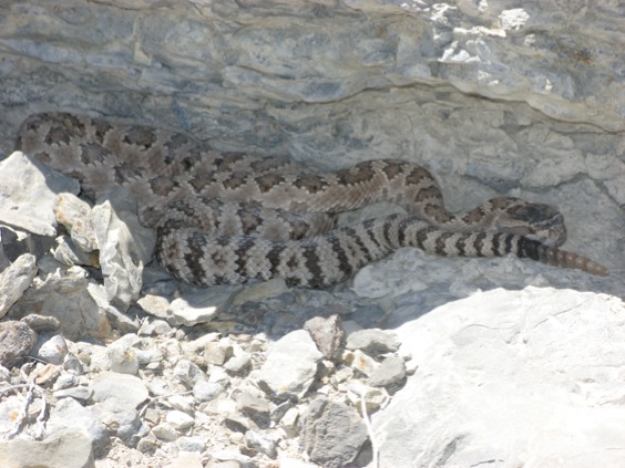
Snake! This one most definitely venomous, with a rattle to announce it.
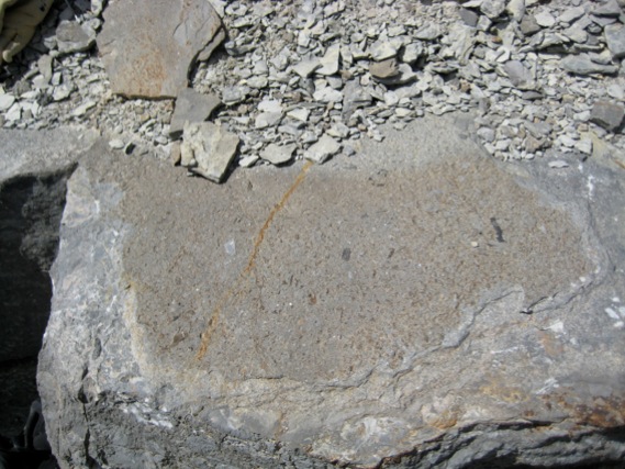
Bedding surface packed with trilobites. This is horizon G 210.2 m, with a rich fauna of the Protopliomerella contracta Zone.
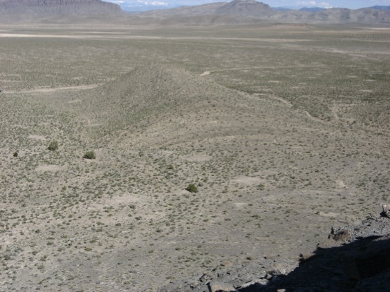
View from the high part of Section G toward the base of the section. The big hump in the middle distance is the lower, Stairsian, part of the section. The Stairsian-Tulean boundary lies in the dip slope on the near side of it. The background is a view eastward across the Tule Valley with Steamboat Pass visible.
View up the high Tulean part of Section G, taken from the dip slope in the photograph above.
The joy of hauling rocks. Or at least of stopping hauling rocks.
Eventually we moved to Ely, Nevada, and worked for several days at Yellow Hill, down near Pioche.
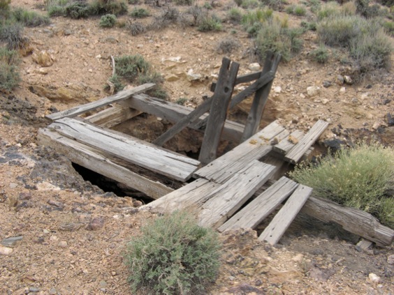
Old mine beside Yellow Hill.
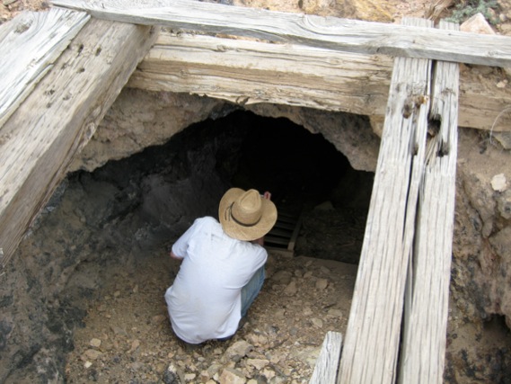
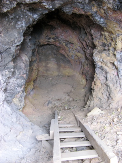
View inside.
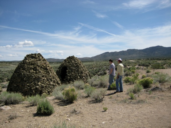
Nineteenth century charcoal ovens at Bristol Wells, used for smelting ore.
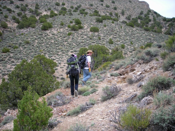
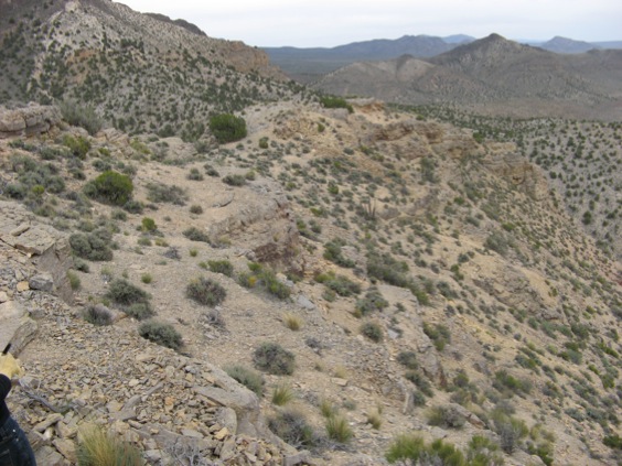
Long, steep, trudge up, with Yellow Hill rising in the background.
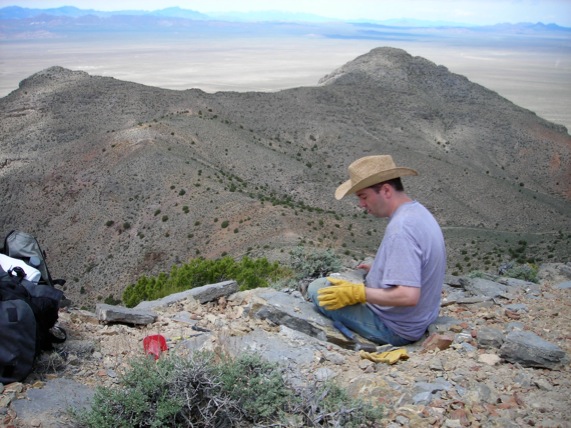
Sampling near the summit, in rocks of the Heckethornia bowiei Zone.
Sampling in the howling wind near the summit. Note the yellow weathering limestone, hence the name.
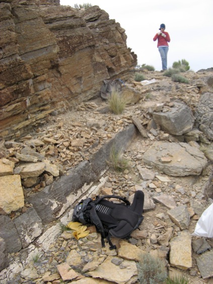
The "bagging and tagging" phase of sampling, with a view toward the approach road and the van (just visible on the road at center).
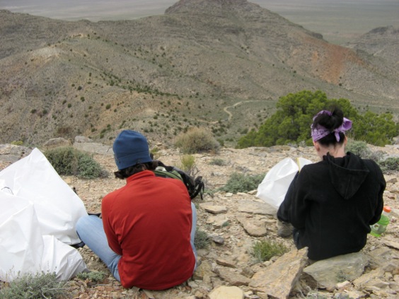
View downsection. The lowest faunas we recovered in situ are from the Psalikilopsis cuspidicauda Zone.